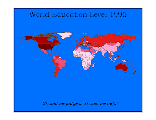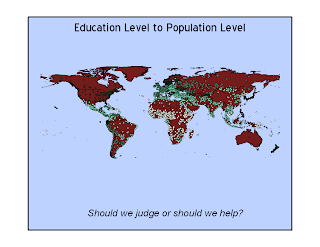

After a week of trying and failing, I realized that there was something wrong with the computer I was on. I never was able to access the information other students had because the files wouldn't open. Also, I was not able to select 100 cities, counties, etc. So, I tried a different computer, and lo and behold, it worked. I rushed it, so did not get strictly 100 places. I chose individual cities for the chloropleth because I feel that in addition to education level, the number of individual sites gives a greater impression of the impact and amount of education than a straight fill-in color. I added the country chloropleth map for comparison.

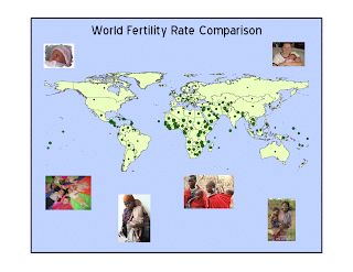
I like the small scale symbols on this map because the countries with the lowest fertility rates are surprisingly obvious.
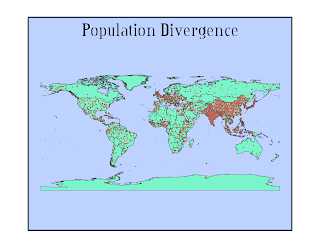
 I felt like I needed a plain background for these maps because the various islands and symbols would get lost in a fancy background.
No comments:
Post a Comment